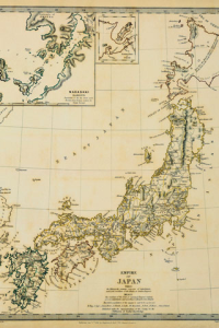
Japan through Maps
This album shows maps of Japan in imaginative ways, from a variety of antique maps including examples from the 19th century to maps made of cherry blossom petals, ears of rice and clouds, to computergenerated maps of the information network, and even maps made by satellites. The satellite maps are made of many smaller images pieced together into a single map. Have fun seeking out the differences between old and new maps, or by finding places you know on satellite maps. Includes 50 images.
Certain devices which do not correspond to touchscreen, are not able to use some functions of the selection list and the slideshow settings.Thank you for your understanding.

App Name:Japan through Maps
App Version:1.0.0
App Size:3454 KB
Cost:US$0.99 USD